PRINTED IN THE USA
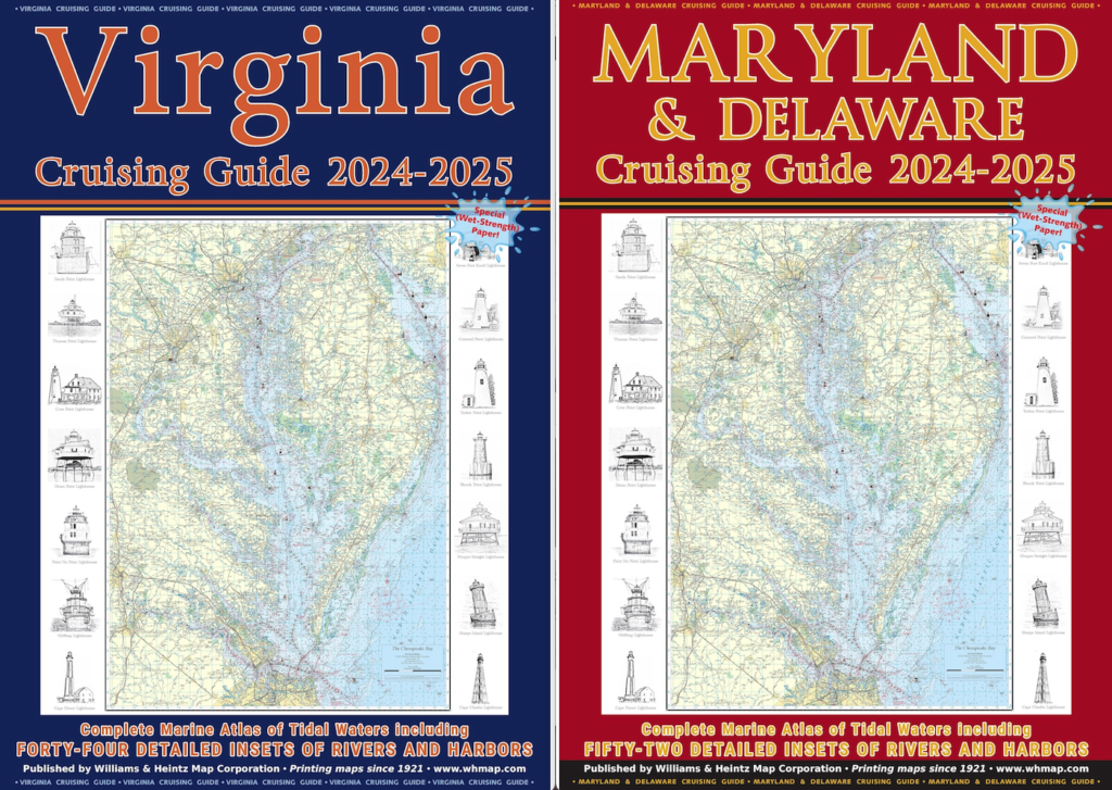
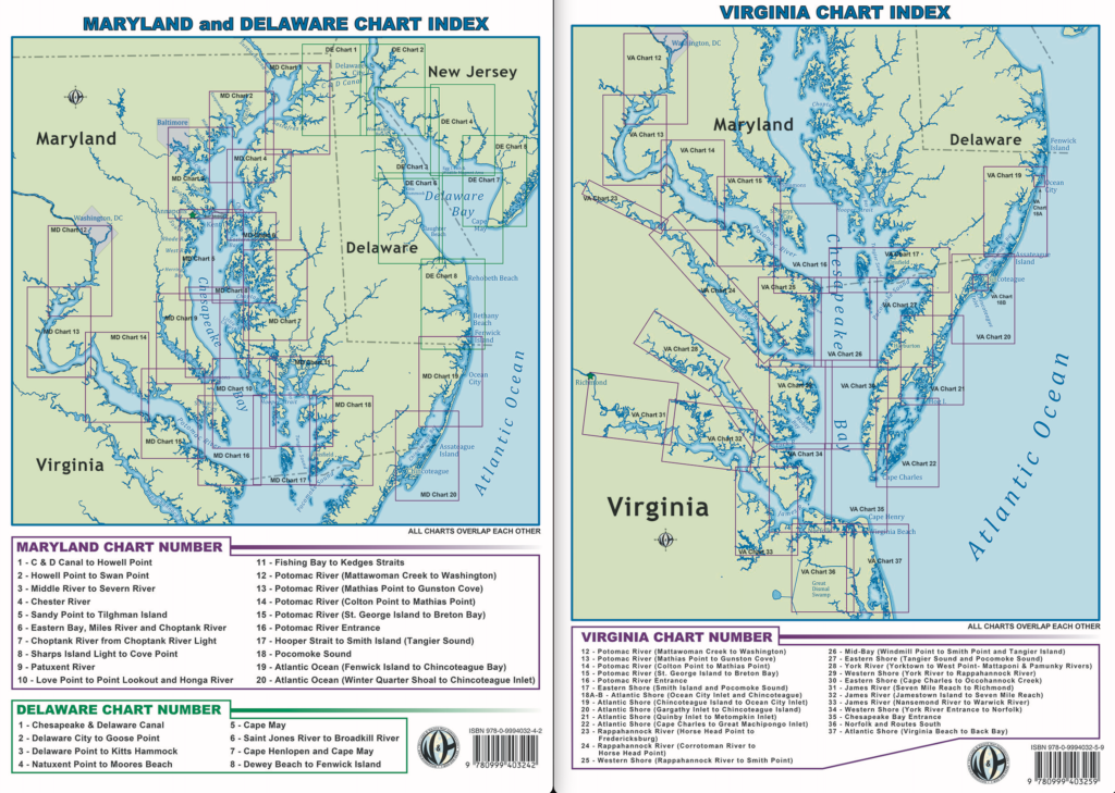
Williams and Heintz printed the very first “Guide for Cruising Maryland Waters” beginning in the early 1960’s for the Maryland Department of Natural Resources. In 1996, we took over as its publisher, and renamed it under the title of Maryland Cruising Guide and updated the Virginia Cruising Guide in 2003. In 2020, we added Delaware Bay to Maryland’s book. This complete chartbook includes 52 insets of rivers and harbors in the Maryland & Delaware Cruising Guide. The Virginia Cruising guide includes 44 insets of rivers and harbors.
Included in your purchase of each new printed chart book, is a QR code for a free digital download of each individual chart. Now you can have the Williams & Heintz Cruising Guides on your iPhone, iPad, or Android phone, too.